Description
Visionary Intelligence. Elevated Accuracy.
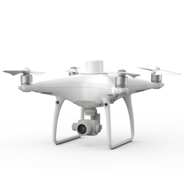
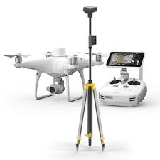
Upgrade your next mapping mission with the Phantom 4 RTK – the most compact and accurate low altitude mapping solution.
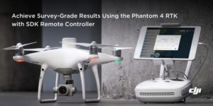
Next Generation Mapping
DJI has rethought its drone technology from the ground-up, revolutionizing its systems to achieve a new standard for drone accuracy – offering Phantom 4 RTK customers centimeter-accurate data while requiring fewer ground control points.
1cm+1ppm
RTK Horizontal Positioning Accuracy
1.5cm+1ppm
RTK Vertical Positioning Accuracy
5cm*
(*When flying at 100m height, 2.7cm GSD, sunny.)
Absolute Horizontal Accuracy
of Photogrammetric Models
Gather Accurate Data with TimeSync
To take full advantage of the Phantom 4 RTK’s positioning modules, the new TimeSync system was created to continually align the flight controller, camera and RTK module. Additionally, TimeSync ensures each photo uses the most accurate metadata and fixes the positioning data to optical center of the lens – optimizing the results from photogrammetric methods and letting the image achieve centimeter-level positioning data.
Reviews
There are no reviews yet.